
Safe driving routes for traveling through Cibao Valley

Introduction
Traveling through the Cibao Valley is one of the most rewarding driving experiences in the Dominican Republic, offering a journey through lush landscapes, agricultural heartlands, and vibrant urban centers. Whether you are moving between major cities like Santiago and La Vega or exploring smaller mountain towns, understanding the road networks is essential for a smooth journey. Navigating this region requires preparation due to the varying road conditions, high traffic volumes in certain sectors, and the unique topographic challenges posed by the surrounding mountains.
Properly planning your route is more than just finding the fastest way to your destination; it is about ensuring the safety of your vehicle and its passengers. By selecting the most reliable corridors and understanding the characteristics of each stretch of road, you can avoid common pitfalls such as unexpected congestion, poorly maintained rural paths, or hazardous weather-related delays. This guide provides the necessary context to help you navigate the Cibao region with confidence, focusing on the primary arteries that connect the valley's most important nodes.
Main driving corridors in the Cibao region

The Cibao Valley is primarily served by several major highways that act as the backbone of the regional transportation network. The most critical route is the Autopista Duarte, which serves as the main connection between the capital and the northern region. While it is a high-capacity road, drivers must remain vigilant regarding heavy freight traffic and the high frequency of buses.
For those traveling within the valley itself, the arterial roads connecting Santiago, La Vega, and Bonao are fundamental. These routes often transition from high-speed highways to more winding, two-lane roads as you approach the foothills of the Cordillera Central. Understanding this transition is vital; as the road narrows and curves increase, your speed must decrease to maintain control and visibility.
Another important aspect of the regional network is the connection to the Atlantic coast. Routes that move from the central valley toward cities like Puerto Plata or Samaná involve significant elevation changes. These roads are often subject to different microclimates, meaning visibility and traction can change rapidly compared to the flatter valley floor.
Essential preparation for valley road conditions
Driving in the Cibao requires a proactive approach to vehicle maintenance and environmental awareness. The tropical climate, characterized by intense heat and sudden heavy rainfall, can impact both the driver and the machine. Maintaining a vehicle that is prepared for sudden shifts in weather is a non-negotiable aspect of safe travel.
To ensure a safe trip, consider the following checklist:
- Tire Integrity: Ensure tires have adequate tread depth and correct pressure, as the combination of heat and heavy rain can lead to hydroplaning or blowouts.
- Braking System: The hilly terrain requires a braking system that can handle constant use without overheating.
- Visibility Tools: Wipers and lights must be in perfect working order to combat heavy tropical downpours and evening fog in mountainous areas.
- Cooling System: Given the high temperatures in the valley, a well-functioning radiator and cooling system are essential to prevent engine failure during long climbs.
Beyond the vehicle, drivers should plan their trips to avoid peak commuting hours in major hubs like Santiago. Traffic density in urban intersections can significantly increase stress levels and the risk of minor collisions.
Navigating weather and topography challenges
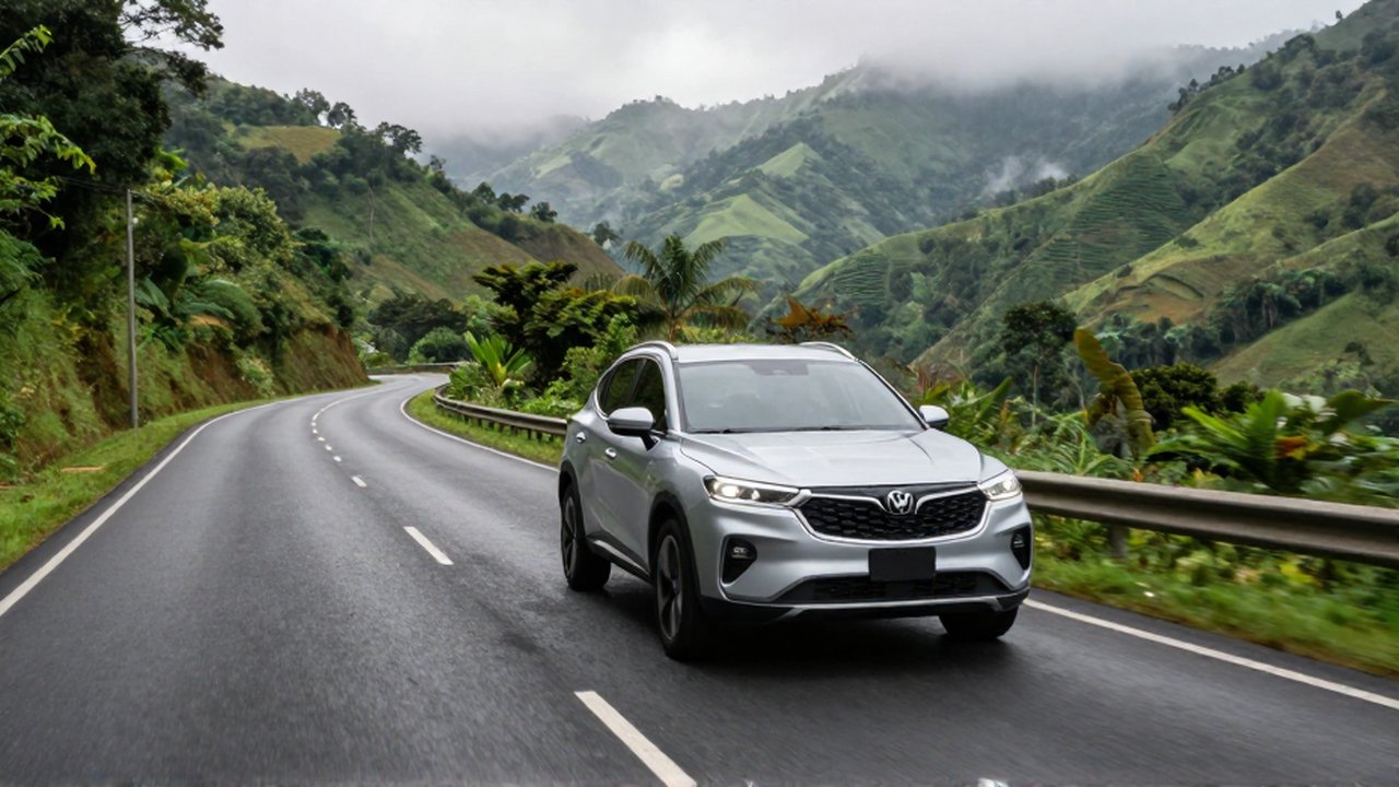
The topography of the Cibao Valley is diverse, ranging from flat plains to steep mountain passes. This geographical variety dictates different driving styles and safety requirements. When traveling through the flatter, lowland areas, the primary concern is often high-speed traffic and the movement of agricultural machinery, which may move much slower than the flow of vehicles.
When the route takes you toward the mountains, the following risks become more prominent:
| Challenge | Impact on Driving | Recommended Action |
|---|---|---|
| Steep Inclines | Increased engine strain and brake wear | Use lower gears and avoid excessive braking |
| Sharp Curves | Reduced visibility and lateral stability | Reduce speed before entering the bend |
| Heavy Rain | Reduced traction and limited visibility | Increase following distance and activate lights |
| Mountain Fog | Near-zero visibility in certain sectors | Use fog lights and maintain a steady, slow pace |
Recognizing these patterns allows a driver to adjust their expectations and driving behavior accordingly. For example, a sudden downpour in the mountains can turn a manageable road into a hazardous one within minutes. Always allow for extra travel time to account for these environmental variables.
Common driving mistakes in the northern region
One of the most frequent mistakes made by travelers in the Cibao is underestimating the time required for transit. Many drivers rely on digital navigation tools without accounting for the localized traffic patterns or the impact of heavy rain on speed. This often leads to rushed driving, which is a leading cause of accidents on winding roads.
Another common error is failing to adjust driving behavior when encountering slower-moving vehicles, such as trucks or tractors. Attempting risky overtakes on two-lane roads with limited visibility can be extremely dangerous. Patience is a fundamental component of safe driving in this region; it is always better to arrive late than to attempt a high-risk maneuver on a narrow stretch of road.
Lastly, neglecting the importance of rest can be detrimental. The winding nature of many Cibao routes requires high levels of concentration. Drivers who attempt to make long-distance journeys through the valley without scheduled breaks risk fatigue, which significantly impairs reaction times and decision-making during critical moments on the road.
Frequently asked questions
What is the best time of day to travel through the Cibao Valley? Generally, early morning or late afternoon provides the best balance of visibility and temperature. Avoiding the midday heat and the heavy rush-hour traffic in cities like Santiago is highly recommended.
How do road conditions change during the rainy season? During the rainy season, roads in the mountainous areas can become slippery and prone to localized flooding or debris. Visibility is often significantly reduced, requiring much slower speeds and increased following distances.
Should I use a GPS for navigating these routes? While GPS is very useful for general navigation, it may not always account for real-time road closures or the specific difficulty of a mountain pass. Always supplement digital tools with attentive local driving and awareness of road signage.
Are the main highways well-maintained? The primary corridors, such as the Autopista Duarte, are generally well-maintained. However, secondary roads and routes leading into more rural or mountainous areas may have more significant wear and tear and require more cautious driving.
Leave a Reply